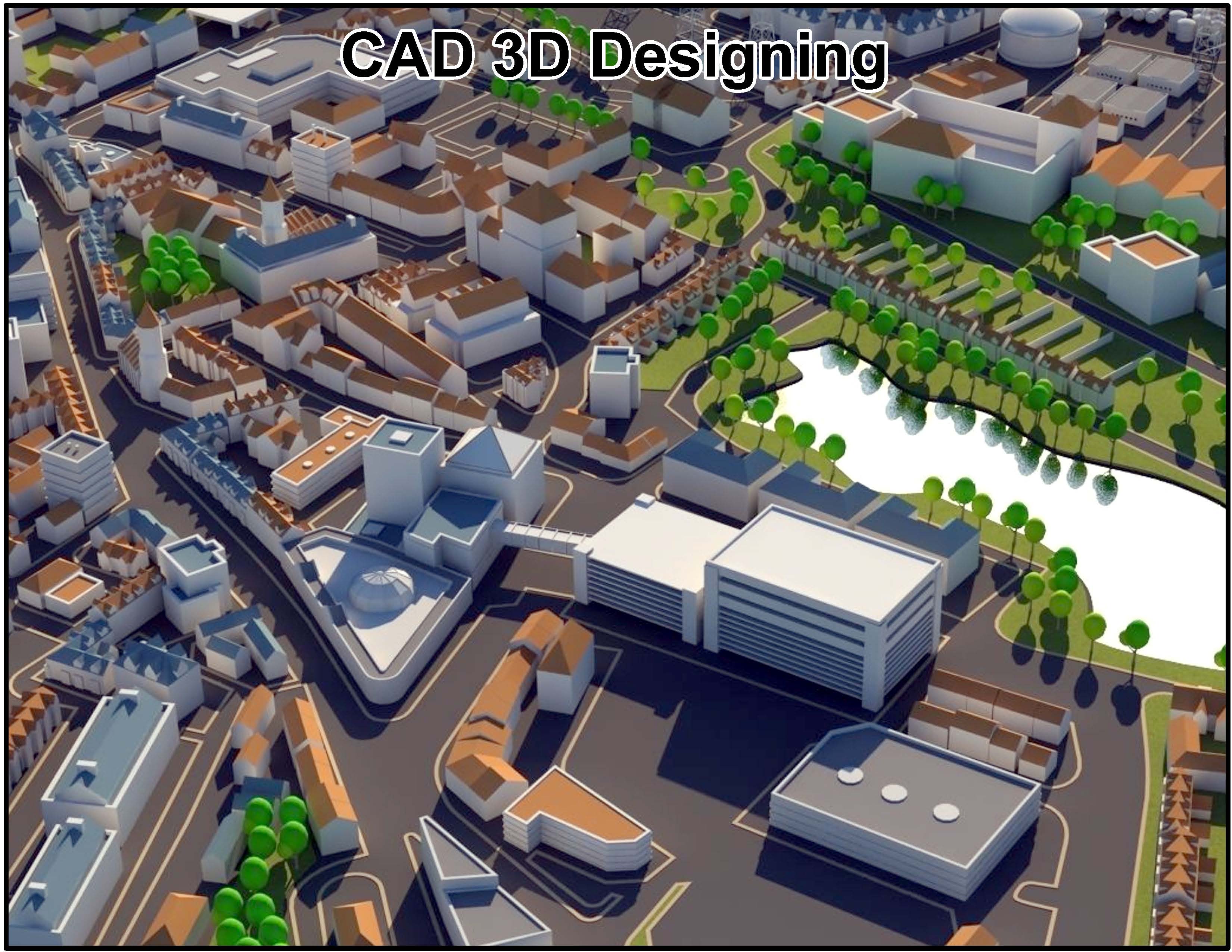
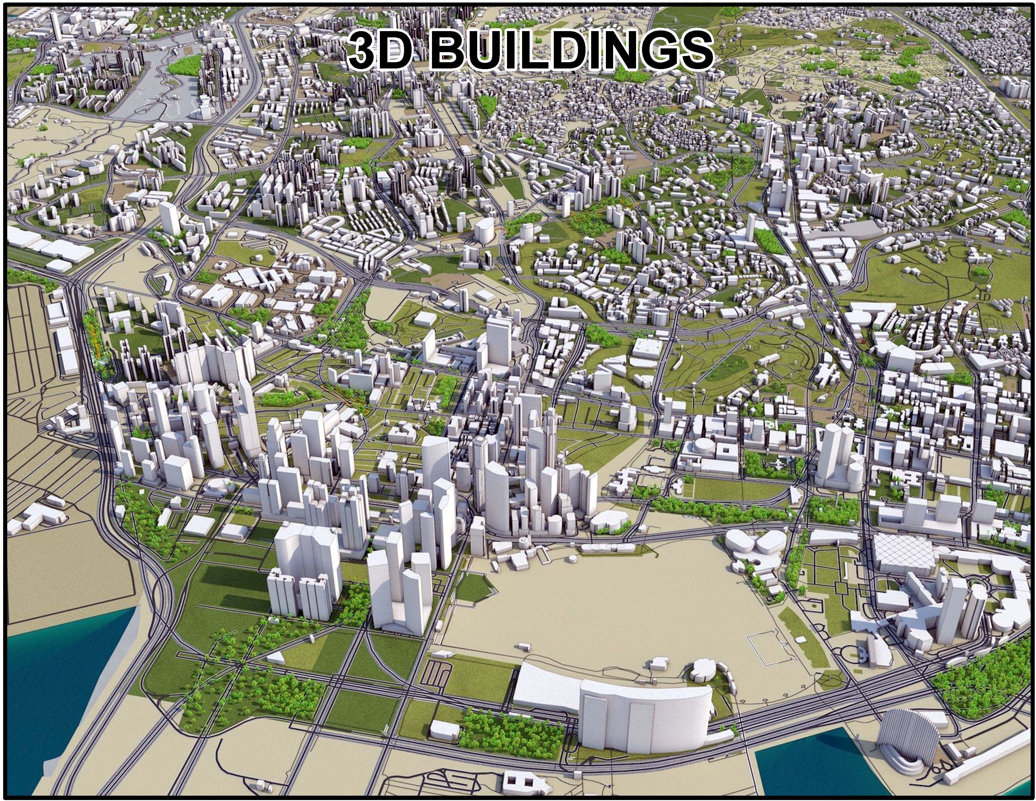
Our Datasets Details
Our Datasets includes
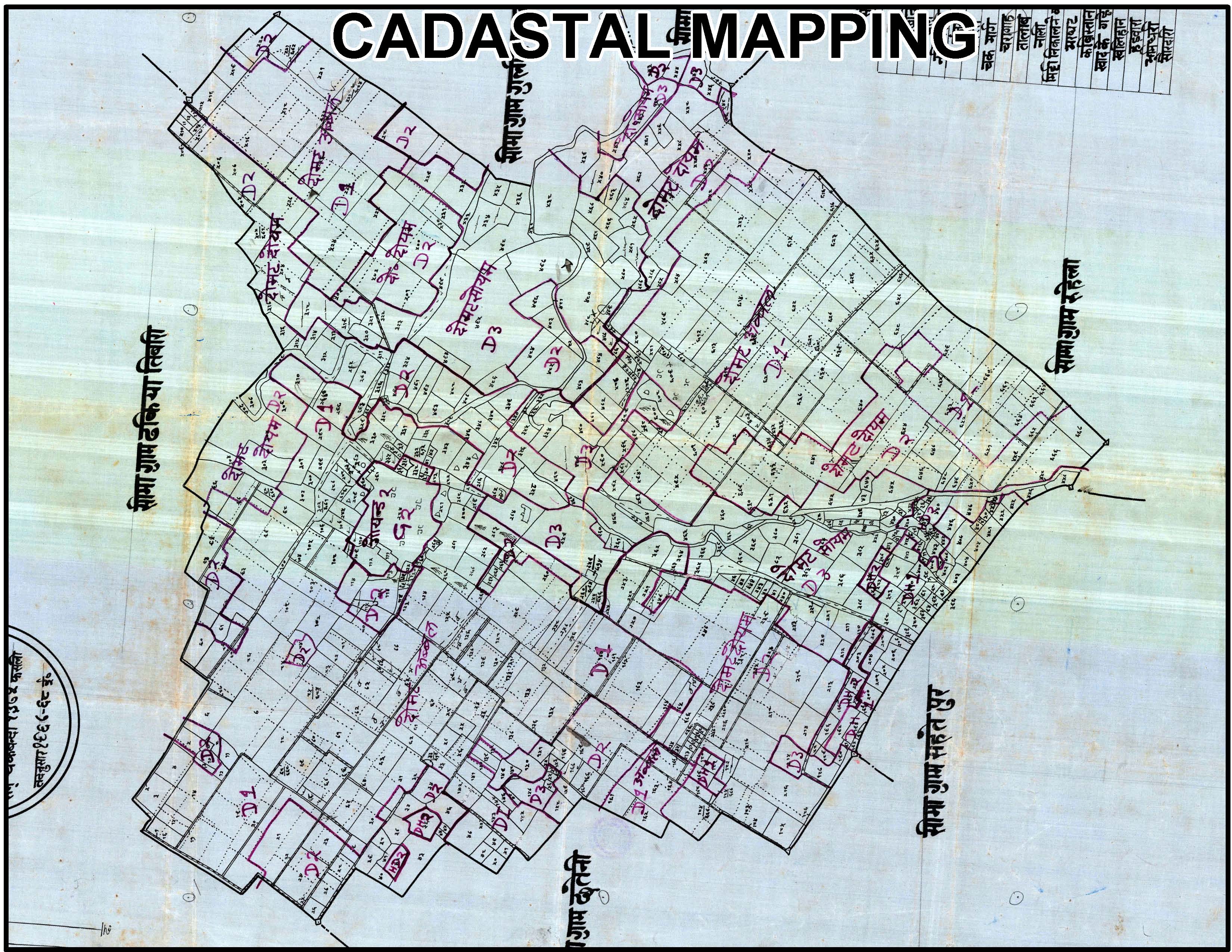
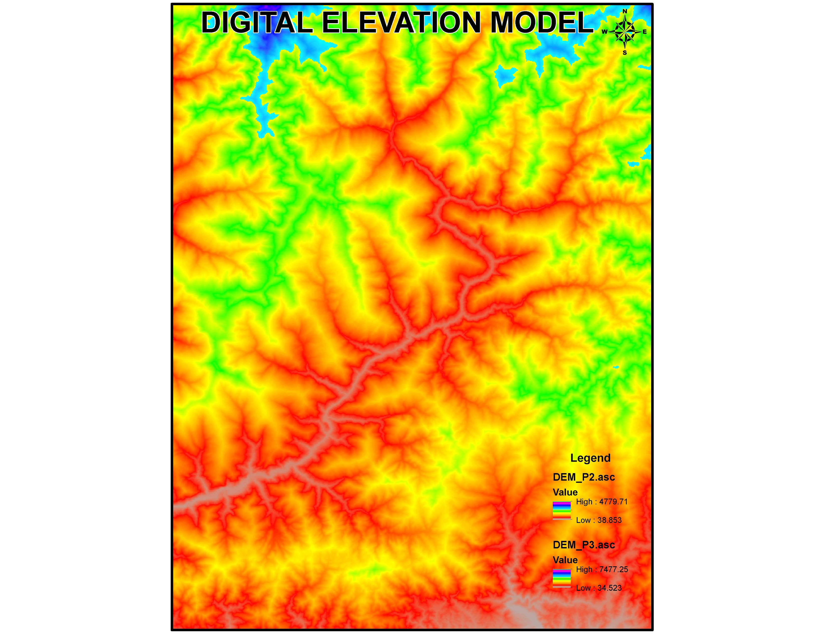
Digital elevation models (DEM)
A Digital Elevation Model (DEM) is a 3D representation of a terrain's surface, showing elevation data for geographical features.
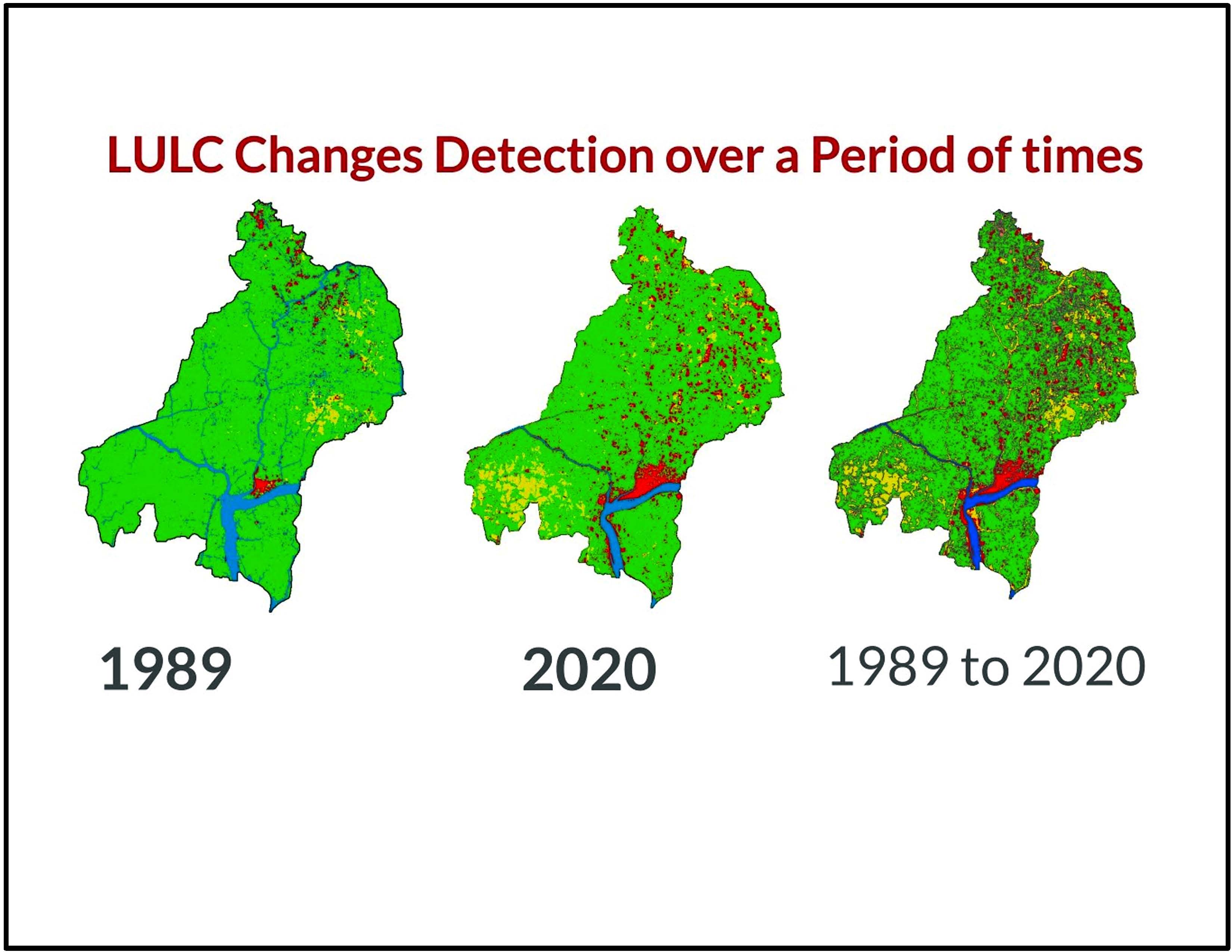
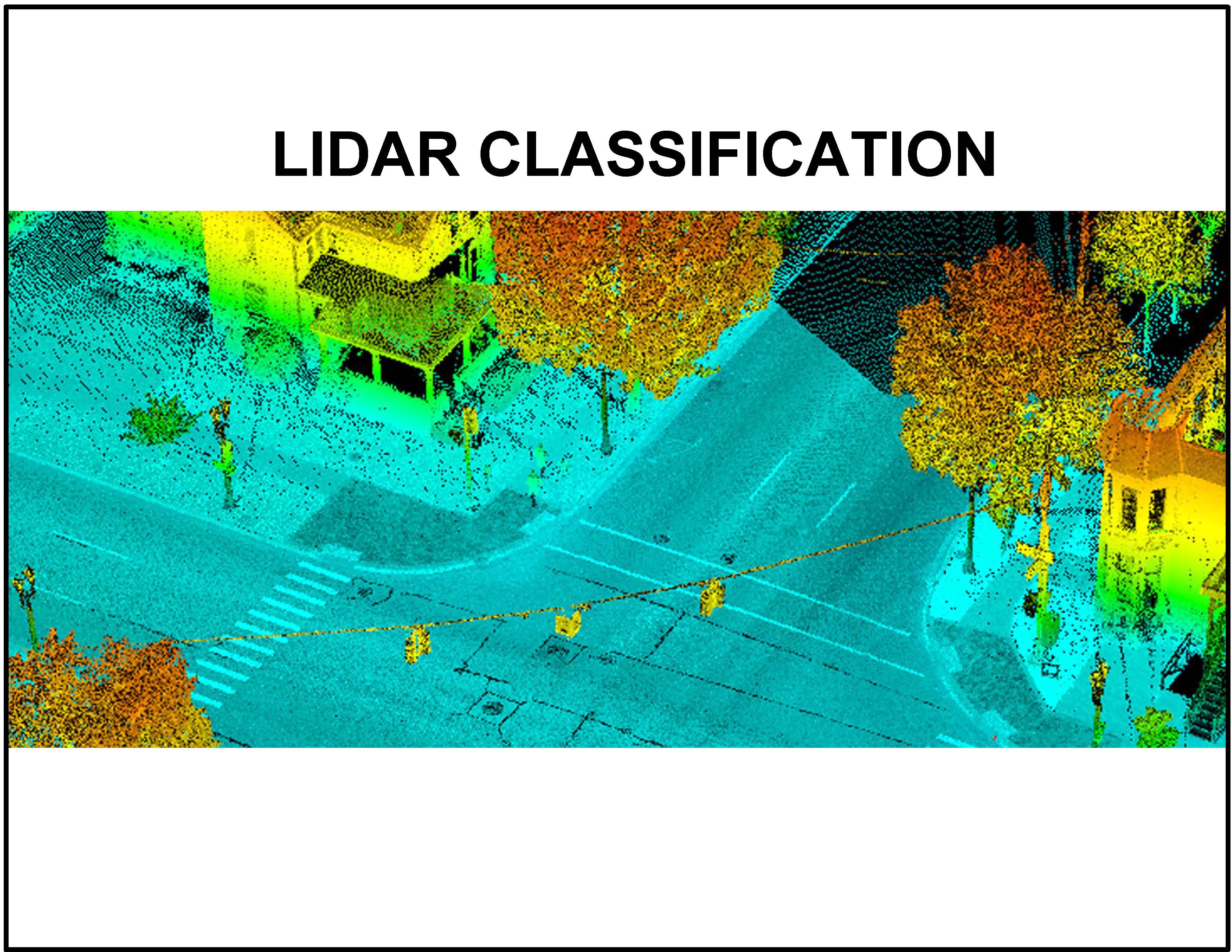
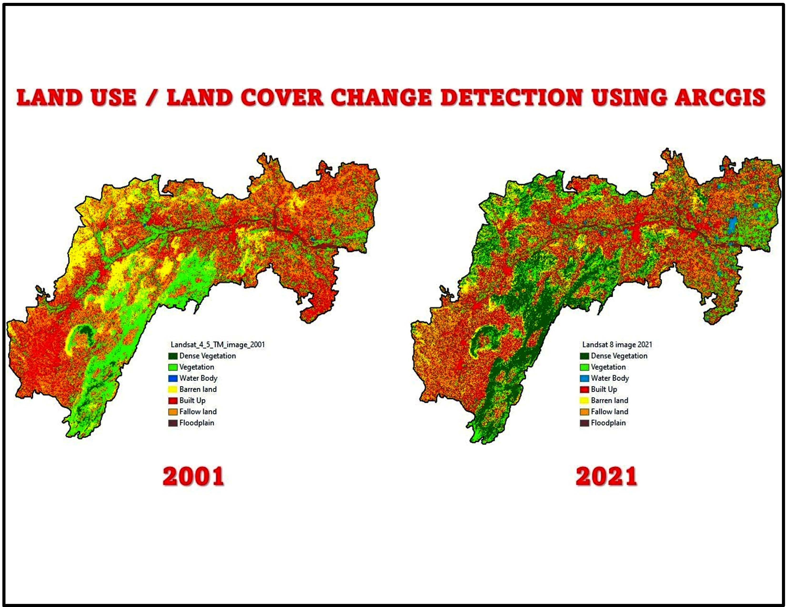
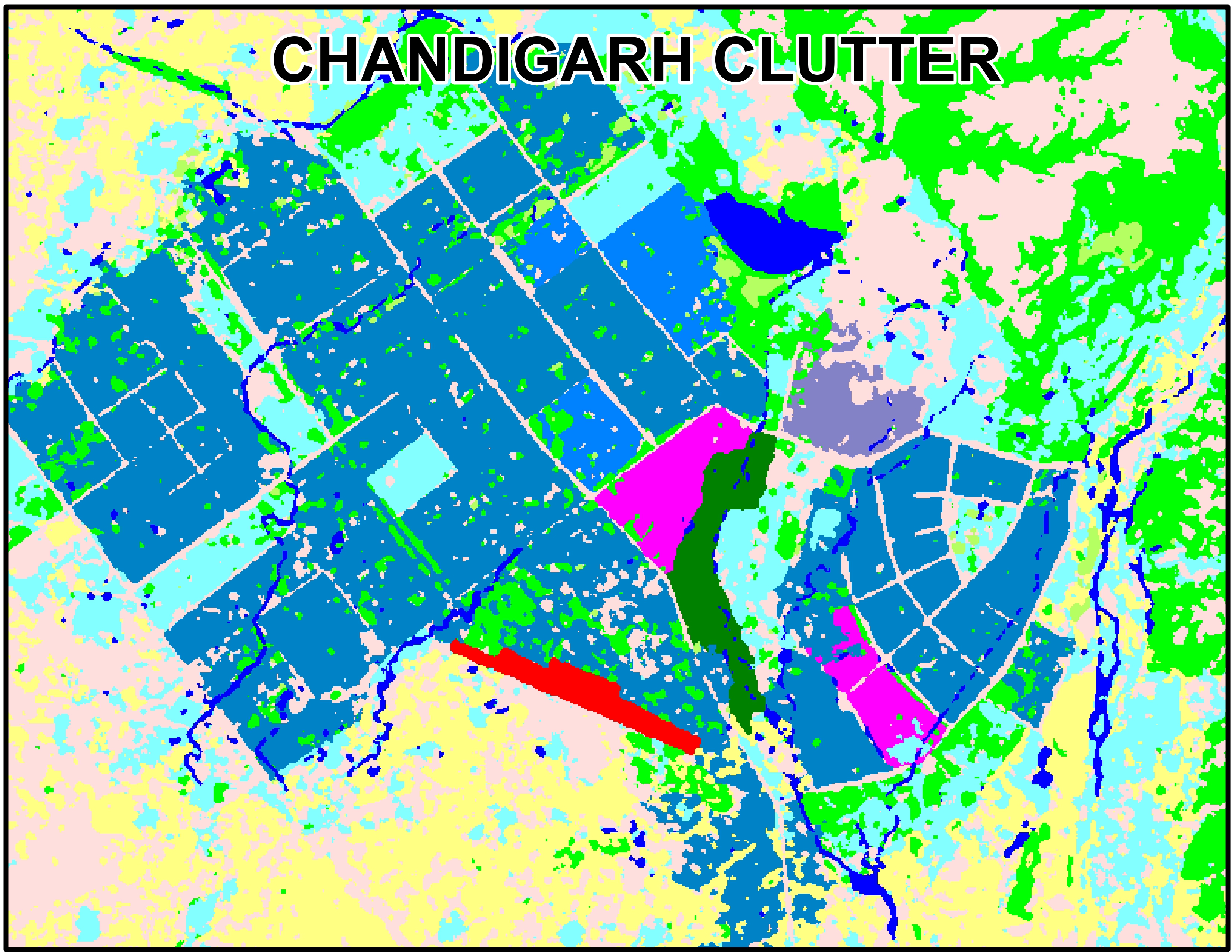
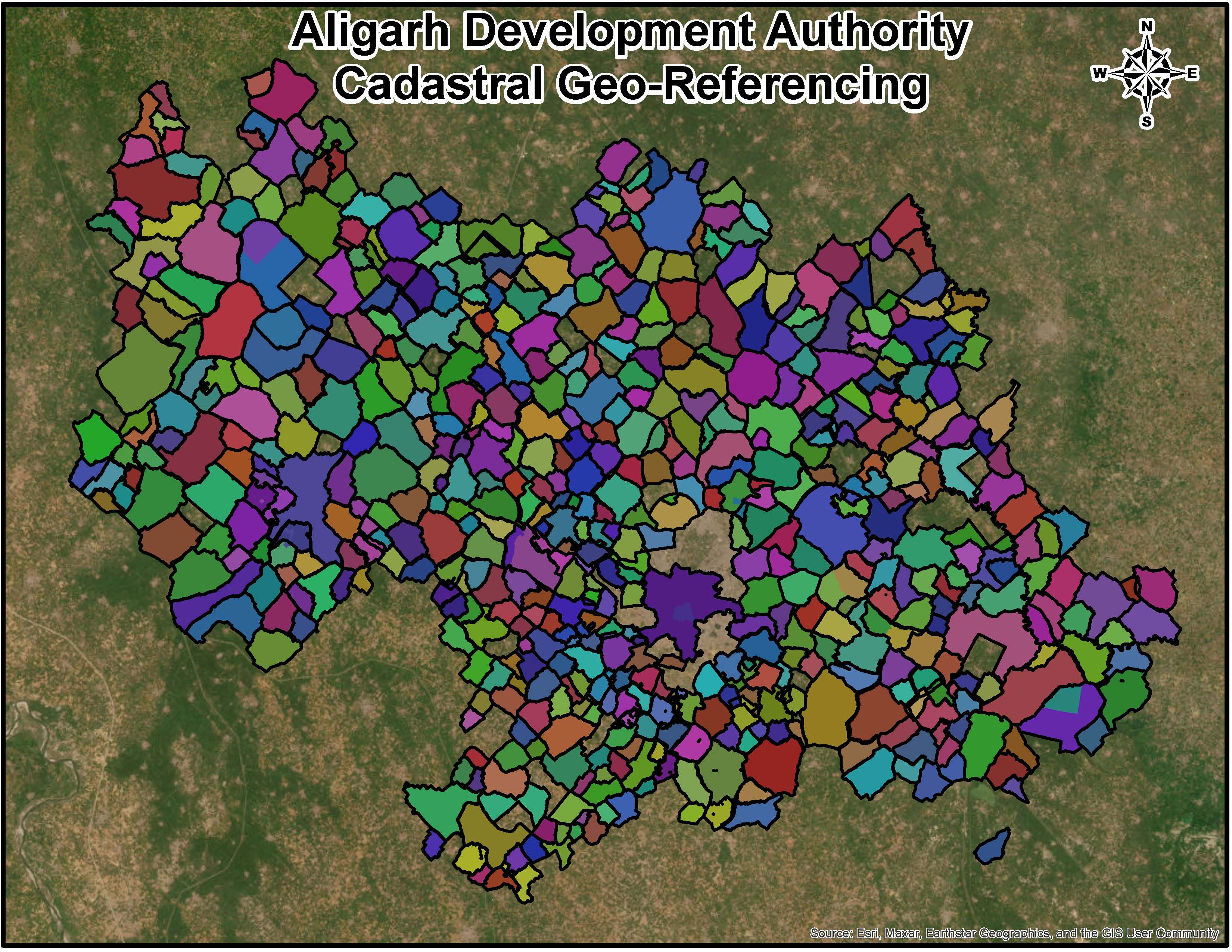
Land use / Clutter
Land use/Clutter refers to the classification of land based on its current use, such as residential, agricultural, industrial, or natural, often used in spatial analysis and planning.
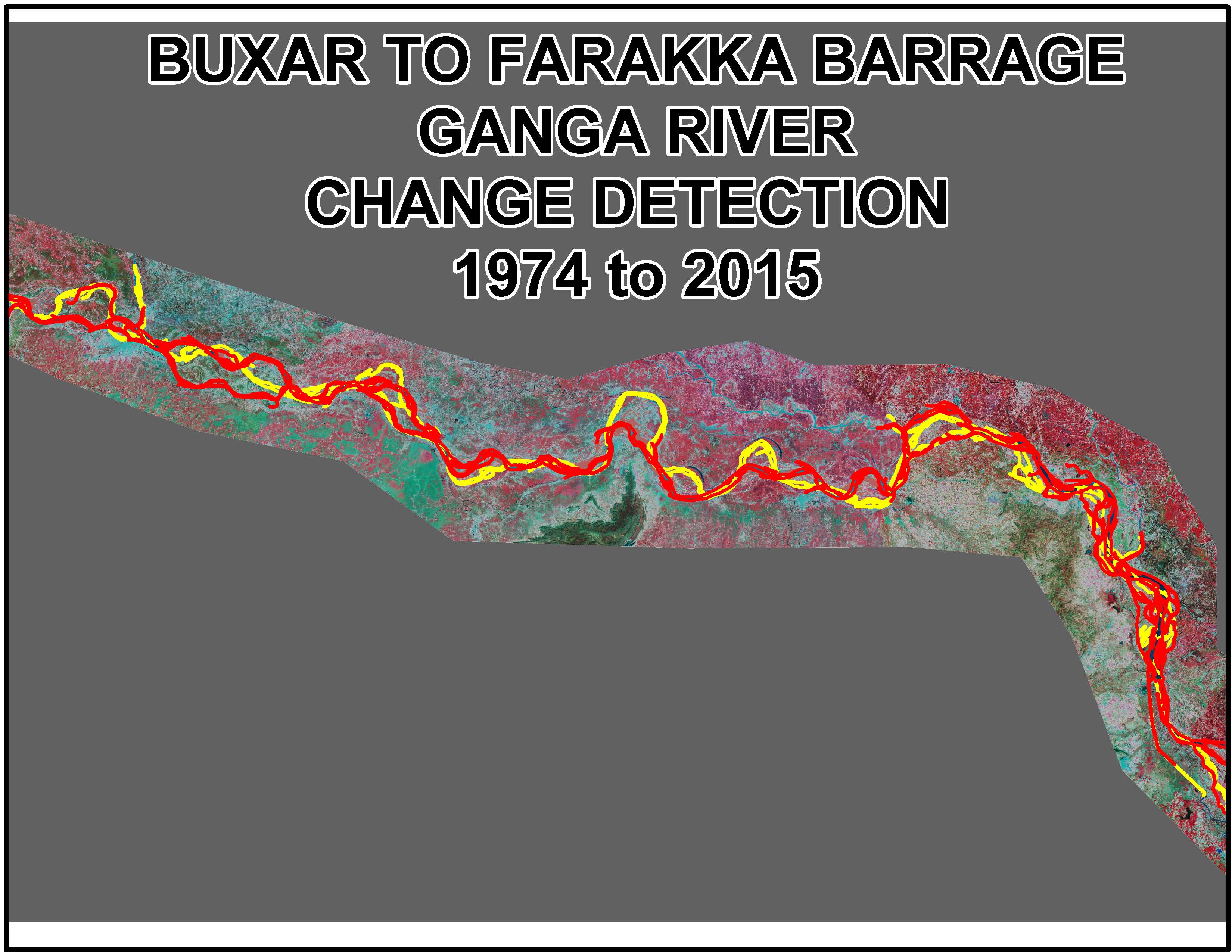
Vectors like transport features
Vectors like transport features represent linear geographical elements such as roads, railways, and pathways, used in mapping and spatial analysis.
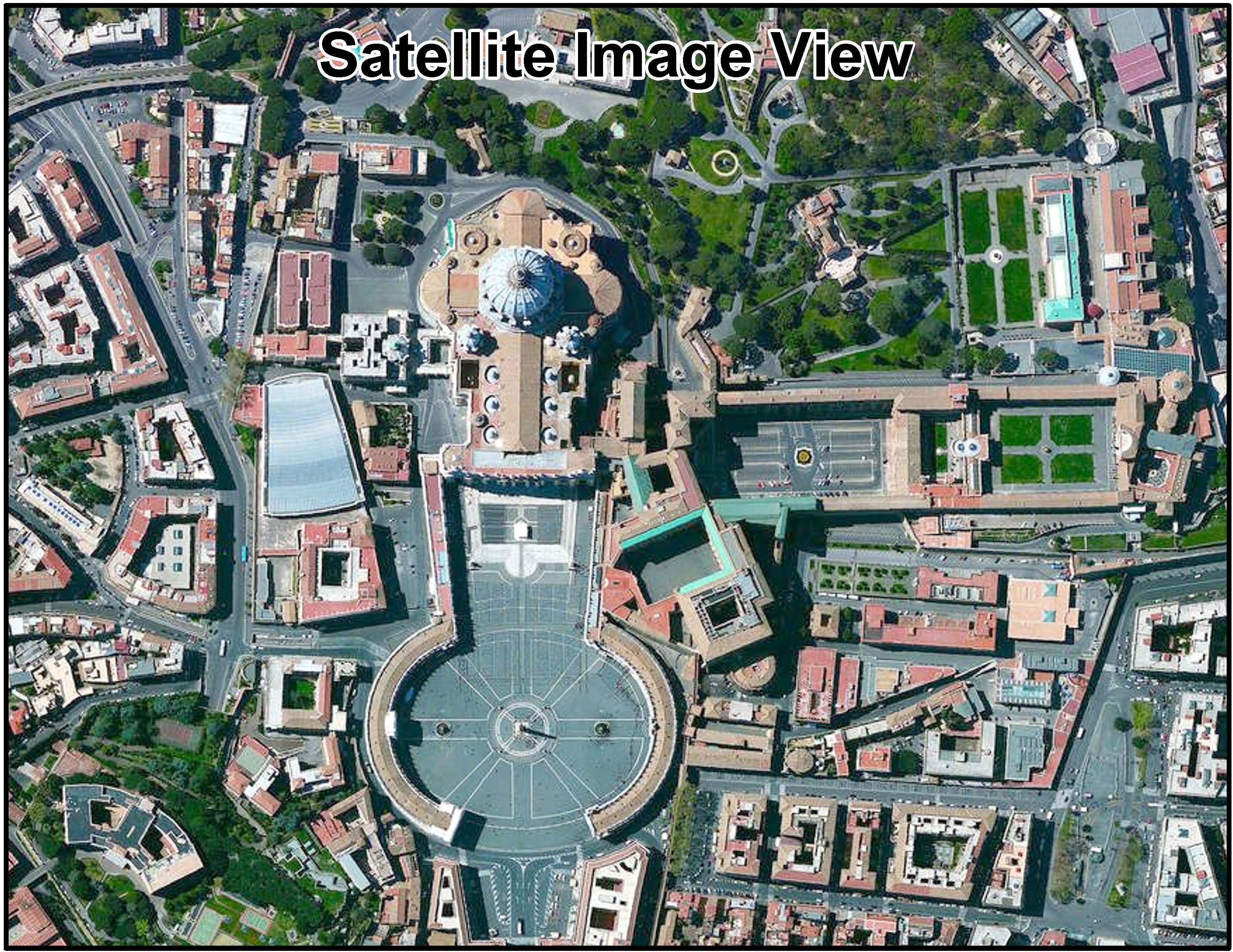
Back drop Image
A Backdrop Image is a background layer in a map or visualization, providing context and reference for overlaid spatial data.
Process

We Process High-Resolution imagery into raster data products. The Activities involve removal of distortions in images (geo- rectification, ortho-rectification) and ensuring that the output is of high quality in terms of clarity, resolution and color. The Processing consist of geo-referencing and cutting of specified output formats. A seamless raster data products is produces from multiple image tiles.
- Remote Sensing
- Image Enhancement
- Interpretation
- Classification
- Feature Extraction
- Dem Generation
Interpretation work includes creation of land use/land cover morphology data, vector updates and high-resolution urban mapping.
Key Features
- Image Processing
- Geo positioning
- Mosaicing
- Color Balancing
- Seamless Image Products
- Data Merging
- Image filtering
- Band rationing
- Edge enhancement & Histogram equalization
RF Planning tools
We are proud to inform that we deliver map datasets in all latest available RF Planning tools format and please call on us for free evaluation copy.
We would request you to kindly intimate us RF Planning tool being used by you and to register our company for your future endeavors.