Service Details
3DVisualisation
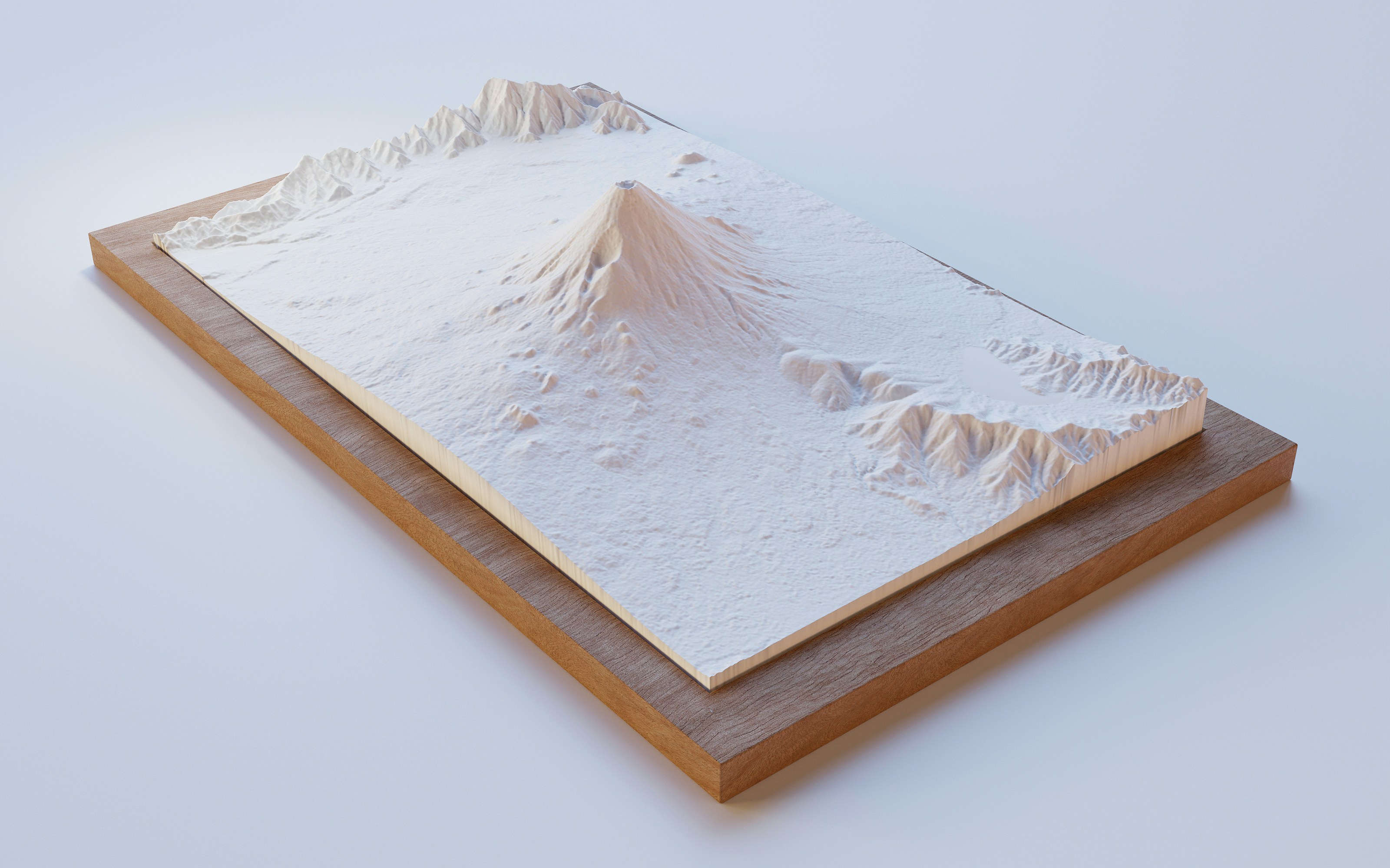
A good way to get a comprehensive understanding of the shape of a surface or objects is to view it in 3D. Some of the applications are:
- Urban Planning and Architecture
- Environmental Modeling
- Virtual Reality (VR) and Augmented Reality (AR)
- Medical Imaging
- Product Design and Prototyping
GIS provide efficient tools to present and visualize data in 3D, which can significantly improve our understanding, decision-making and planning capabilities. GEO DATA has an extensive experience of visualizing and modeling to 3D vision. It enables us to offer an advanced evidence-based tool for urban planners, environmentalists and decision-makers.