About Us
GEO DATA is a leading global provider of Geographical Information Systems (GIS) Services and Spatial Data for creative solutions in Digital Cartography and Mapping, Land Information Systems, GIS and Remote Sensing, Ground Survey with latest techniques (GPS, DGPS, and Total Station etc.), Base Map Creation through Satellite Imagery, Cadastral Mapping.
-
Visionary Geographical Information Services
GEO DATA provides innovative services in cartography and mapping production, spatial analysis, and 3D visualization, ensuring accurate and dynamic geographical representations.
-
Customized GIS Solutions and Expert Support
The company offers tailored spatial data customization, along with professional GIS consulting and support, to meet the unique needs of clients.

What we offer

Natural Resource Management
Development of Natural Resources Information System such as Coastal Information System, Land Information system, Forest resources management information system etc. consisting of layers as derived above and many more. Any determinant having a bearing on the natural resources management can be added as a layer or attribute so as to have a comprehensive holistic approach towards an eco-system or natural resources assessment and management.

Data Conversion
The Organization's Strength lies in capacity to convert large volumes of paper maps and drawings with quick run-around, as well as in ability to manage complex conversion projects, which require creation of data from multiple sources of varying scales, vintage and quality.

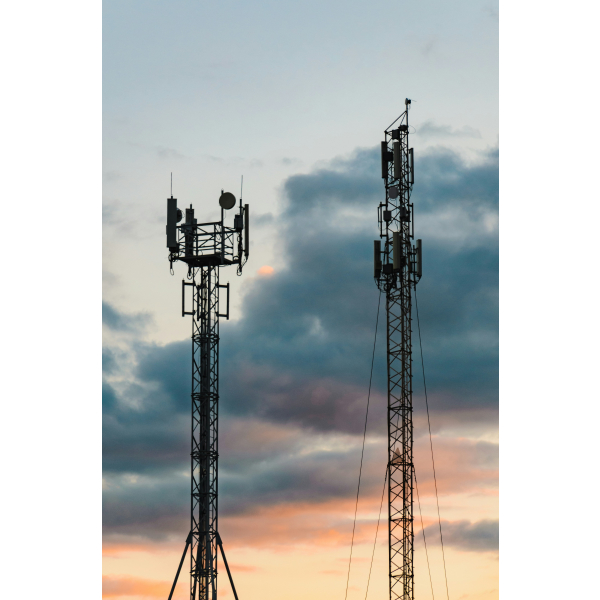
Telecommunication
We are an emerging supplier of geodetic data (Digital Maps) for wireless application planning and design. We provide digital maps all over the world, in any required resolution and format, with cheapest rate guaranteed quality and fastest turn around processing and delivery time.
Domains
Driving Innovation Across Diverse Sectors

Smart City
Telecom

Agriculture

Forestry

Geo Marketing

Disaster Management

Minerals & Mining

Infastructure Planning
Our Clients